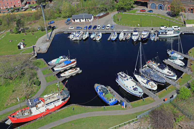
Bowling Basin
West Dunbartonshire
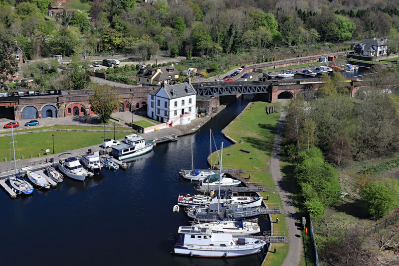
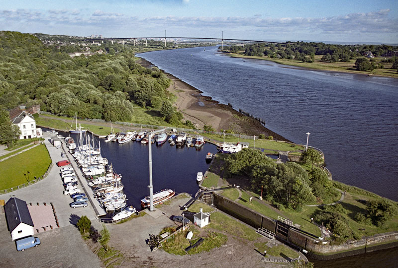
The old Customs House in front of the railway line, now used as a cycle path.
The inner basin is on the right.
The original 2006 photo shown at the bottom of this page can be seen on the information board at the edge of the grass area to the left of the old Customs House.
These are aerial photos of an earlier aerial photo...
The original 2006 photo shown at the bottom of this page can be seen on the information board at the edge of the grass area to the left of the old Customs House.
These are aerial photos of an earlier aerial photo...
The outer basin looking from further west.
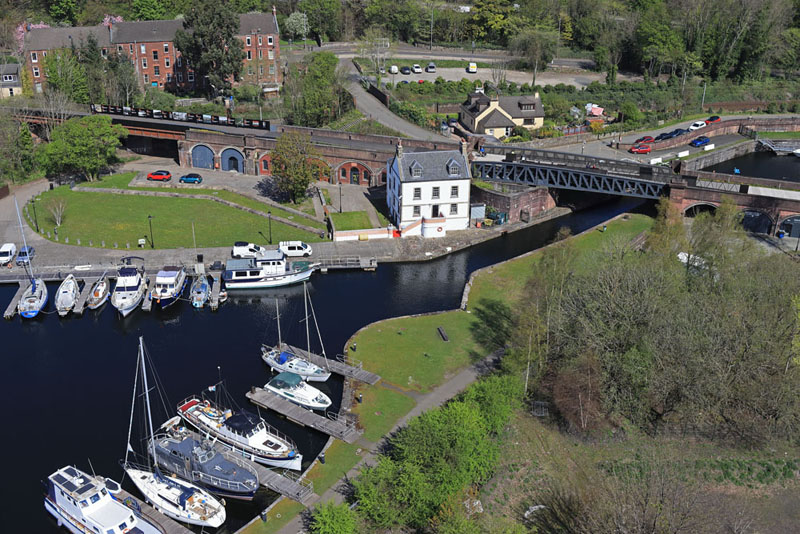
Slightly more square on. National Cycle Network Route 7 connects Balloch on Loch
Lomond to Aberfoyle, Callander and Killin.
Further back are the railway line to Dumbarton and all points west and north, the road through Bowling (A812) and at the very top the A82, Great Western Road, the main road west from Glasgow along the north bank of the Clyde.
Further back are the railway line to Dumbarton and all points west and north, the road through Bowling (A812) and at the very top the A82, Great Western Road, the main road west from Glasgow along the north bank of the Clyde.
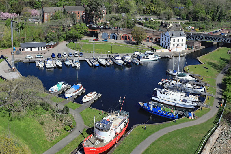
The outer basin looking north from over the river.
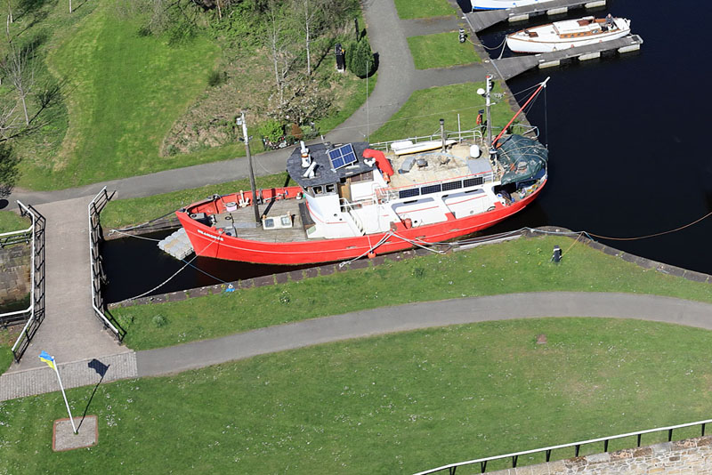
The boat “Seahorse” and the flagpole flying the Ukrainian flag.
This is the original photo from this site taken on film in 2006. It's displayed on the information board
on the edge of the grass area thirty yards left of the Customs House.